
हिन्दी इंटरफ़ेस का पूर्वावलोकन। संपादकीय अनुवाद समीक्षा बाकी है; स्रोत अभिलेख मूल भाषा में हैं।



AWARE INDIA / PUBLIC DISTRICT ATLAS
Assam
Explore the districts, history and people of Assam.
Assam
35 pages
बजाली ज़िला
Bajali district is a district of the Indian state of Assam, carved out of Barpeta district. The Assam Cabinet headed by former Chief Minister Sar...
Explore district ↗
बक्सा जिला
Baksa district ( or ) is an administrative district in the Bodoland Territorial Region of Assam, one of the North-Eastern states of India. The ad...
Explore district ↗
बारपेटा जिला
Barpeta District is an administrative district in the state of Assam in India. The district headquarters are located at Barpeta. The district occ...
Explore district ↗
Biswanath
Biswanath in Assam. Explore its public directory, history, places, personalities and election references.
Explore district ↗
बोंगाइगांव जिला
Bongaigaon district ( ) is an administrative district in the state of Assam in northeastern India. The district headquarters are located at Bonga...
Explore district ↗
काछाड़ जिला
Cachar district is an administrative district in the state of Assam in India. After independence, the pre-existing undivided Cachar district was...
Explore district ↗
चराईदेव जिला
Charaideo district is an administrative district in the state of Assam in India. It was formally declared a new district of the state on 15 Augus...
Explore district ↗
चिरांग जिला
Chirang district is an administrative district in the Bodoland Territorial Region of Assam state in the North-East of India.
Explore district ↗
दरं जिला
Darrang district (Assamese pronunciation: [dɔrɔŋ]) is an administrative district in the state of Assam in India. The district headquarters are lo...
Explore district ↗
धेमाजी जिला
Dhemaji district ( or ) is an administrative district in the state of Assam in India. The district headquarters are located in Dhemaji and commer...
Explore district ↗
धुबरी
Dhubri district () is an administrative district in the Indian state of Assam. Included within the Kamatapur Autonomous Council, the district hea...
Explore district ↗
डिब्रूगढ़ जिला
Dibrugarh district () is a district in the state of Assam in India. The district headquarters are located within the city of Dibrugarh.
Explore district ↗
उत्तर कछर जिला
Dima Hasao district (), is an administrative district in the state of Assam, India. As of 2011, it is the least populous district of Assam. Dima...
Explore district ↗
गोवालपारा जिला
Goalpara district is an administrative district of the Indian state of Assam. The district headquarters is Goalpara.
Explore district ↗
गोलाघाट जिला
Golaghat district () is an administrative district in the state of Assam in India. It attained district status in 1987. The district headquarters...
Explore district ↗
हैलाकन्दी जिल्ला
Hailakandi district is one of the 35 districts of Assam state in northeastern India. It makes up the Barak Valley alongside Cachar and Karimganj....
Explore district ↗
होजई जिला
Hojai district is a district in Assam, India. It was formed on 15 August 2015. The headquarters of the district is situated at Sankardev Nagar, w...
Explore district ↗
जोरहट जिला
Jorhat district ( or ) is an administrative district of the Indian state of Assam situated in the central part of the Brahmaputra Valley. The dis...
Explore district ↗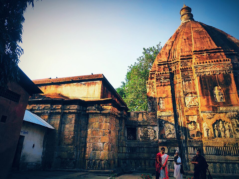
कामरूप जिला
Kamrup district ( or ), is an administrative district in the state of Assam in India formed by dividing the old Kamrup district into two in the y...
Explore district ↗
Kamrup Metro
Kamrup Metro in Assam. Explore its public directory, history, places, personalities and election references.
Explore district ↗
कार्बी ऑन्गलॉन्ग जिला
Karbi Anglong district is an administrative unit in the Indian state of Assam. It is an autonomous district administered by the Karbi Anglong Aut...
Explore district ↗
कोकराझाड़
Kokrajhar district is an administrative district in Bodoland Territorial Region of Assam. It is predominantly inhabited by the Boro tribe. The di...
Explore district ↗
लखीमपुर जिला
Lakhimpur district ( LAK-im-POOR) is an administrative district in the state of Assam, India. The district headquarters is located at North Lakhi...
Explore district ↗
माजुली जिला
Majuli district is situated on Majuli, the largest river island in the world, in the Brahmaputra River in Northeastern Assam. It is the first riv...
Explore district ↗Directory snapshot: 8 October 2026. Recent administrative changes may be missing; Puducherry’s outlying units are labelled separately. Read coverage and source notes.