


AWARE INDIA / PUBLIC DISTRICT ATLAS
Chhattisgarh
Explore the districts, history and people of Chhattisgarh.
Chhattisgarh
33 pages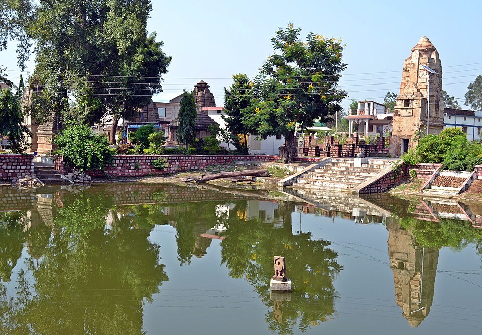
Balod
Balod district is a district within the state of Chhattisgarh. Its headquarters are in Balod. It has a District & Sessions Court which was inaugu...
Explore district ↗
Balodabazar-Bhatapara
Baloda Bazar-Bhatapara district is a district in Chhattisgarh state of India with its headquarters at Baloda Bazar. Before its creation, it was a...
Explore district ↗
Balrampur-Ramanujganj
Balrampur-Ramanujganj district is a northern district in the Indian state of Chhattisgarh. It came into existence on 17 January 2012 and was form...
Explore district ↗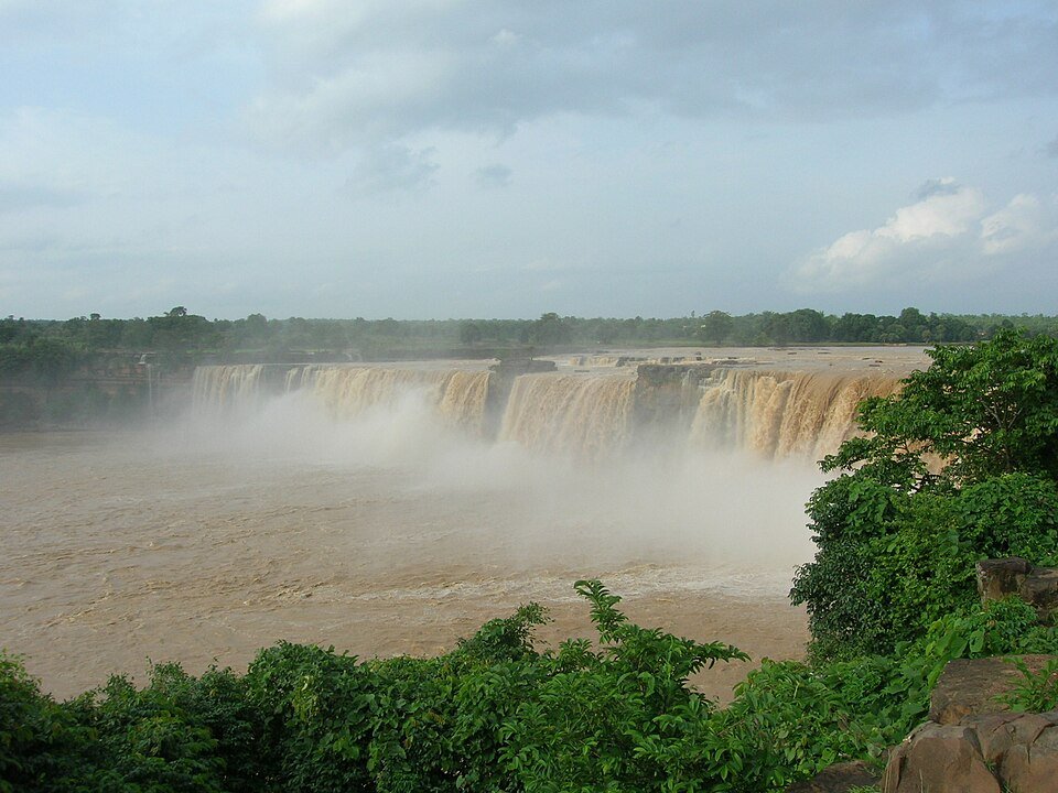
Bastar
Bastar district is a district in the state of Chhattisgarh in Central India. Jagdalpur is the district headquarters. Bastar is bounded on the nor...
Explore district ↗
Bemetara
Bemetara district is a new district in the state of Chhattisgarh, India. Bemetara city is administrative headquarter of the district. The distric...
Explore district ↗
Bijapur
Bijapur district, formerly known as Birjapur, is one of the 27 districts of the state of Chhattisgarh in central India. It is one of the two new...
Explore district ↗
Bilaspur
Bilaspur in Chhattisgarh. Explore its public directory, history, places, personalities and election references.
Explore district ↗
Dakshin Bastar Dantewada
Dakshin Bastar Dantewada district, also known as Dantewara district, is a district in the Indian state of Chhattisgarh. Dantewada is the district...
Explore district ↗
Dhamtari
Dhamtari district is a district of the Indian state of Chhattisgarh. This district is situated at 20°42' N latitude and 81°33' E longitude. Dhamt...
Explore district ↗
Durg
Durg district is a district situated in Chhattisgarh, India. The district headquarters is Durg. The district covers an area of 2,238 km2. As of 2...
Explore district ↗
Gariyaband
Gariaband district is one of the 33 districts of Chhattisgarh. It has its headquarters at Gariaband town. The district was carved out of Raipur d...
Explore district ↗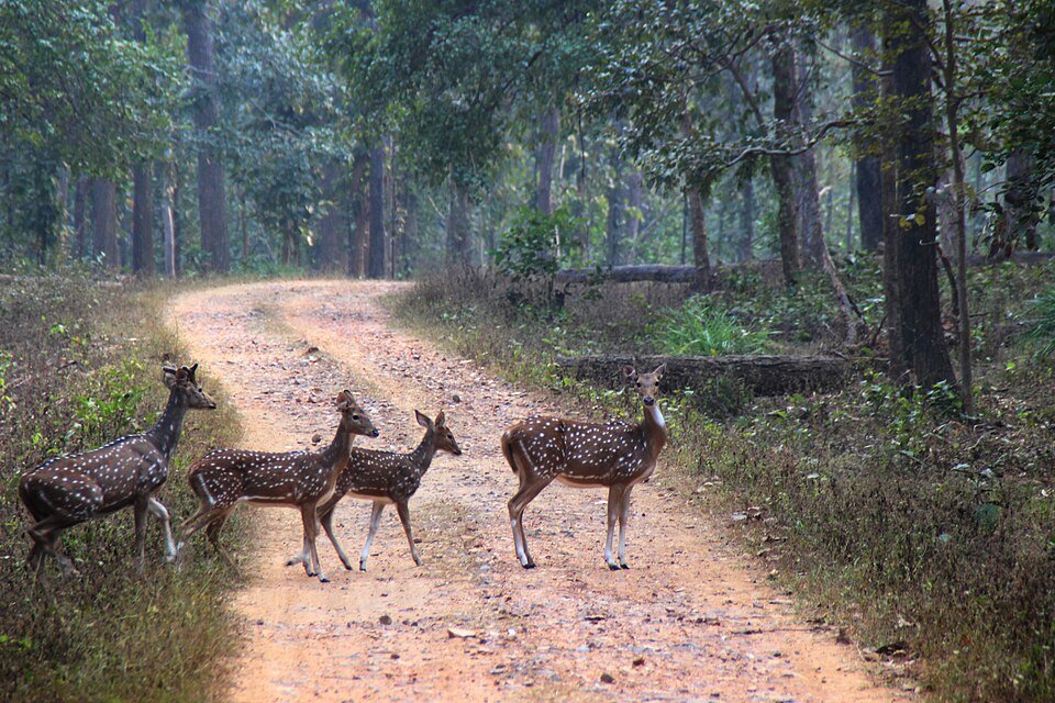
Gaurela-Pendra-Marwahi
Gaurela-Pendra-Marwahi district is a district in the Indian state of Chhattisgarh. Gaurella is the headquarters of the district. It was carved ou...
Explore district ↗
Janjgir-Champa
Janjgir–Champa district is a district in the Indian state of Chhattisgarh. The district's headquarters, Janjgir, is the city of Maharaja Jajawaly...
Explore district ↗
Jashpur
Jashpur district is a district of the central Indian state of Chhattisgarh bordering Jharkhand and Odisha. Jashpur Nagar is the administrative he...
Explore district ↗
Kabeerdham
Kabeerdham in Chhattisgarh. Explore its public directory, history, places, personalities and election references.
Explore district ↗
Khairagarh-Chhuikhadan-Gandai
Khairagarh-Chhuikhadan-Gandai district is a district in the central Indian state of Chhattisgarh which consists of three cities, Khairagarh, Chhu...
Explore district ↗
Kondagaon
Kondagaon district is a district of Chhattisgarh, India, and was separated from Bastar district on 24 January 2012. with its headquarters at Kond...
Explore district ↗
Korba
Korba district is an administrative district of Chhattisgarh state in central India. The headquarter of this district is Korba. It is the Largest...
Explore district ↗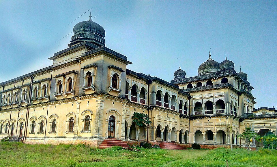
Korea
Koriya district, officially known as Korea district, is a district in the north-western part of the Chhattisgarh state in Central India.The admin...
Explore district ↗
Mahasamund
Mahasamund district is a district in Chhattisgarh state in central India. The city of Mahasamund is the district headquarters. The district is pa...
Explore district ↗
Manendragarh-Chirmiri-Bharatpur(M C B)
Manendragarh-Chirmiri-Bharatpur(M C B) in Chhattisgarh. Explore its public directory, history, places, personalities and election references.
Explore district ↗
Mohla-Manpur-Ambagarh Chouki
Mohla-Manpur-Ambagarh Chouki in Chhattisgarh. Explore its public directory, history, places, personalities and election references.
Explore district ↗
Mungeli
Mungeli district is a district of Chhattisgarh, India, with its headquarters in Mungeli. It was carved out of Bilaspur district in 2013.
Explore district ↗
Narayanpur
Narayanpur district is one of the 33 districts of the Indian state of Chhattisgarh. It is one of the two districts created on 11 May, 2007. It wa...
Explore district ↗Directory snapshot: 8 October 2026. Recent administrative changes may be missing; Puducherry’s outlying units are labelled separately. Read coverage and source notes.