


AWARE INDIA / PUBLIC DISTRICT ATLAS
Karnataka
Explore the districts, history and people of Karnataka.
Karnataka
31 pages
Bagalkote
Bagalkot district (), is an administrative district in the Indian state of Karnataka. The district headquarters is located in the town of Bagalko...
Explore district ↗
Ballari
Ballari district, formerly known as Bellary District (Kannada: [bɐɭːaːri]), is a major district in the northeastern part of Karnataka, belonging...
Explore district ↗
Belagavi
Belagavi district, formerly also known as Belgaum district, is a district in the state of Karnataka, India. The district is known as the sugar bo...
Explore district ↗
Bengaluru Rural
Bengaluru North district is one of the 31 districts in Karnataka, India. It was formed in 1986, when Bangalore District was divided into Bangalor...
Explore district ↗
Bengaluru South
Bengaluru South district is one of the 31 districts of Karnataka state in southern India. Ramanagara City is the administrative headquarters of t...
Explore district ↗
Bengaluru Urban
Bengaluru Urban district is the most densely populated of the thirty-one districts that comprise the Indian state of Karnataka. It is surrounded...
Explore district ↗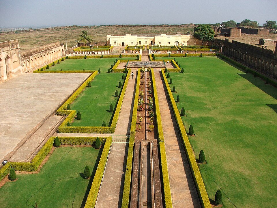
Bidar
Bidar district is a district located in the northernmost part of the Karnataka state in India. The administrative headquarters of district is Bid...
Explore district ↗
Chamarajanagar
Chamarajanagar district or Chamarajanagara is the southernmost district in the state of Karnataka, India. It was carved out of the original large...
Explore district ↗
Chikkaballapura
Chikkaballāpura district is a district in the southern Indian state of Karnataka. On 23 August 2007, it was carved out of the pre-existing Kolar...
Explore district ↗
Chikkamagaluru
Chikkamagaluru in Karnataka. Explore its public directory, history, places, personalities and election references.
Explore district ↗
Chitradurga
Chitradurga district is an administrative district of Karnataka state in south-western India. The city Chitradurga is the district headquarters....
Explore district ↗
Dakshina Kannada
Dakshina Kannada district is located in the state of Karnataka in India, with its headquarters in the coastal city of Mangaluru. The district cov...
Explore district ↗
Davanagere
Davanagere district is an administrative district of Karnataka state in India. It is the centre of Karnataka. The city of Davanagere is the distr...
Explore district ↗
Dharwad
Dharwad district or Dhārawāda district is an administrative district of the state of Karnataka in southern India. The administrative headquarters...
Explore district ↗
Gadag
Gadag district is a district in the state of Karnataka, India. It was formed on 24 August 1997, when it was split from Dharwad district. The dist...
Explore district ↗
Hassan
Hassan district is one of the 31 districts of Karnataka, India. The district headquarter is Hassan. It was part of Manjarabad Faujdari between 18...
Explore district ↗
Haveri
Haveri district is a district in the state of Karnataka, India. As of 2011, it had a population of 1,597,668, out of which 20.78% were urban resi...
Explore district ↗
Kalaburagi
Kalaburagi in Karnataka. Explore its public directory, history, places, personalities and election references.
Explore district ↗
Kodagu
Kodagu district (Kodava: [koɖɐɡɨ, -ʋɨ], also known by its former name Coorg, Kodava: koḍagï, koḍavï) is an administrative district in the Karnata...
Explore district ↗
Kolar
Kolar district (Kannada: [koːlaːrɐ] ) is a district in the state of Karnataka, India. Kolar (ಕೋಲಾರ) is the district headquarters. Located in sout...
Explore district ↗
Koppal
Koppal district is an administrative division of the Indian state of Karnataka with headquarters at Koppala. Historically, Koppal was known as Ko...
Explore district ↗
Mandya
Mandya district is an administrative district of Karnataka, India. The district Mandya was carved out of larger Mysore district in the year 1939....
Explore district ↗
Mysuru
Mysore district, officially Mysuru district, is an administrative district located in the southern part of the state of Karnataka, India. It is t...
Explore district ↗
Raichur
Raichur District is an administrative division of the Indian state of Karnataka. Located in the northeastern part of the state, it is bounded by...
Explore district ↗Directory snapshot: 8 October 2026. Recent administrative changes may be missing; Puducherry’s outlying units are labelled separately. Read coverage and source notes.